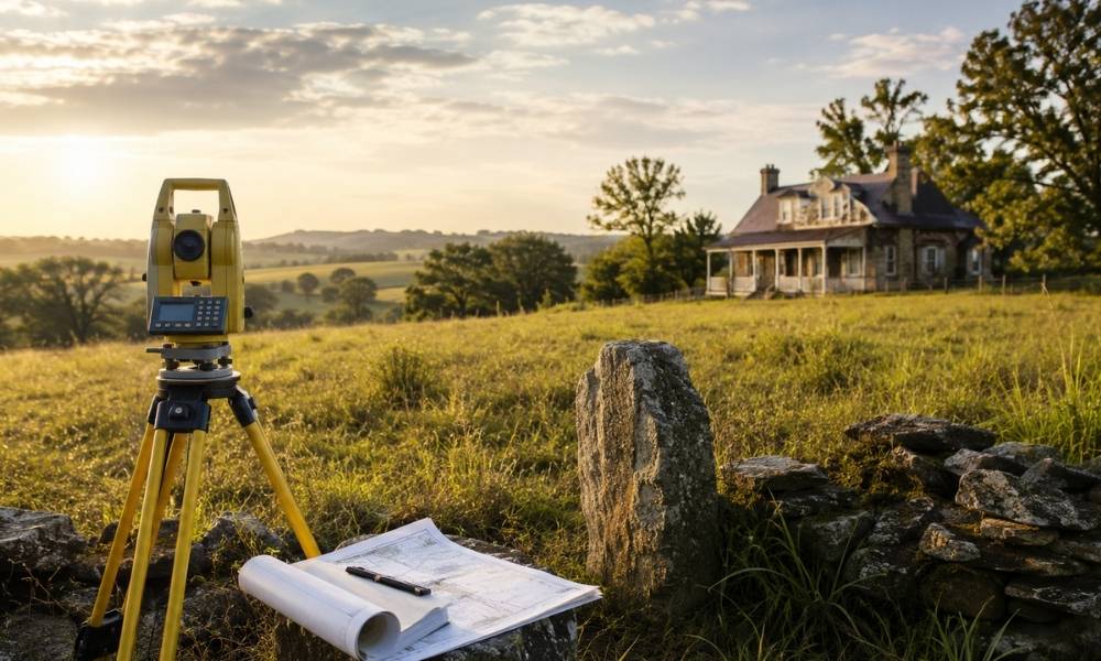
Property survey cost is not a flat rate. For older homes and large acreage in Oklahoma City and across the state, the price to survey land can climb fast, and for good reason. Older rural records and larger tracts are common here. Both add real work before a surveyor ever sets foot on your property.
Understanding what drives that cost helps developers plan better and avoid surprises.
Why Older Property Records Can Increase Property Survey Cost
Old deeds are not always clean. Many properties were recorded decades ago using handwritten legal descriptions, outdated terminology, and references that no longer match current county records. Before any field work begins, a surveyor has to dig through that history.
Missing monuments are another issue. Original iron pins, concrete markers, or wooden stakes from early surveys may have been removed, buried, or destroyed over time. Without them, the surveyor has to locate the boundary using other evidence.
This research phase takes time. More time means higher cost. It is not uncommon for a surveyor to spend several hours just reviewing records before touching any equipment.
Budget extra time and money when the property you are developing has a deed older than 30 to 40 years.
How Large Acreage Changes the Scope of Survey Work
Surveying a standard residential lot in a modern subdivision is straightforward. There are nearby reference points, clear plat maps, and short distances to cover.
Acreage is different.
More land means more corners to locate and verify. It means longer distances between points. It often means varied terrain, including hills, creek beds, and dense vegetation, that slows fieldwork considerably.
Travel time matters too. Rural tracts outside Oklahoma City can require crews to drive significant distances, spend more time on-site, and cover ground that a typical suburban lot would never require.
Larger properties also tend to have more irregular shapes. Each angle, curve, or jog in a boundary line adds measurement work.
The more acres, the more hours. The more hours, the higher the cost.
When Historic Property Descriptions Require Extra Investigation
Many older Oklahoma properties were described using metes-and-bounds language. This system defines boundaries by direction and distance, often starting from a natural landmark.
The problem is that natural landmarks change. Trees die. Streams shift. Rock outcroppings erode. A description that references “the large oak at the creek bank” may have been perfectly clear in 1940. In 2025, that oak is gone.
Surveyors working with these descriptions have to reconcile what the old record says with what can be measured on the ground today. They often cross-reference multiple historical surveys, old aerial photos, and county plat books to piece together where the boundary was originally intended to be.
This kind of detective work adds hours to the job. It also requires a licensed surveyor with experience in older records, not just modern GPS equipment.
Historic descriptions are not a problem that technology alone solves. They require research, judgment, and time.
Why Rural Properties Often Have Fewer Survey Reference Points
In established urban subdivisions, reference points are everywhere. Surveyors can quickly tie into nearby monuments, subdivision plats, and benchmark data to establish accurate positions.
Rural Oklahoma is different. Large tracts outside city limits often sit far from the nearest subdivision or established control point. That means surveyors must perform additional measurements to establish location and accuracy.
Government Land Office corners, when they can be found, help. But many of these original corners were set in the 1800s and may be disturbed or missing. Surveyors may need to search for multiple nearby corners to reconstruct a position.
This increases field time significantly. GPS helps, but open rural land can also present signal challenges depending on terrain and tree cover.
More setup work, more verification steps, and a higher total cost compared to surveying a property in a developed area.
What Property Owners Can Do Before Requesting a Survey
Preparation saves money. The more information you bring to a surveyor upfront, the less time they spend tracking it down themselves.
Here is what to gather before making the call:
- Prior surveys. If the property has been surveyed before, locate those documents. Old plats and field surveys give the new surveyor a starting point.
- Deeds and title documents. Pull the current deed and any older deeds you can find. Legal descriptions in older deeds can be especially helpful.
- County records and plat maps. Your county assessor or clerk’s office may have plat maps, recorded instruments, and other documents that speed up the research phase.
- Easement documentation. If there are known utility or access easements, having those documents ready helps the surveyor account for them properly.
- Any prior title work. Title commitments and old title insurance policies often reference prior surveys and easements that are relevant to your survey scope.
The goal is simple. Give your surveyor the clearest possible picture before they start. Less time spent searching equals lower cost for you.