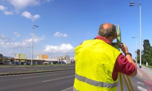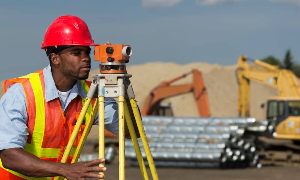
A Construction Staking Survey is one of the most important steps for builders in Oklahoma City. Small mistakes can quickly become big problems. For example, pouring a foundation a few feet off, placing walls incorrectly, or running utilities in the wrong spot can cost time and money. These errors are completely preventable with a staking survey.
Whether you’re building a home, a commercial space, or doing a renovation, a Construction Staking Survey is worth the investment. It helps your project start right, stay on track, and avoid headaches.
What Is a Construction Staking Survey?
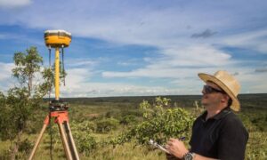
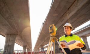
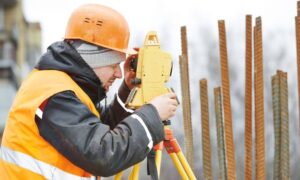
A Construction Staking Survey is when a licensed land surveyor marks the exact spots for your building, walls, utilities, and foundations. They also measure property lines and elevations.
Oklahoma City lots are not always flat. Some have slopes, uneven terrain, or flood-prone areas. A staking survey puts your building plans on the ground. Without it, even careful builders can make costly mistakes.
Reason 1: Keeps Your Building in the Right Place
Accuracy is the top reason to use a Construction Staking Survey.
Even small mistakes can cause big problems. You might build on a neighbor’s lot or break city setback rules. This is especially important near rivers, lakes, or flood zones.
Surveyors place markers that show exactly where foundations and walls go. As a result, your building matches your plans. Expensive corrections are avoided.
Reason 2: Prevents Costly Mistakes and Rework
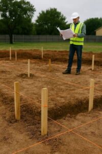
Construction mistakes are expensive. Misaligned walls, wrong elevations, or drainage problems can delay your project and increase costs.
A Construction Staking Survey highlights issues before work starts. If your lot has uneven terrain, the surveyor marks the correct elevations. This prevents water problems, foundation errors, and rework.
By using a staking survey, builders in Oklahoma City save time and reduce stress. In addition, avoiding rework keeps costs down.
Reason 3: Helps You Follow Local Rules
Oklahoma City has strict building, zoning, and floodplain rules. Breaking them can cause fines, permit delays, or legal trouble.
A Construction Staking Survey ensures your project meets regulations. Surveyors mark property lines, building locations, and elevations according to city standards.
If your property is in a Special Flood Hazard Area, a staking survey is even more important. It helps you follow FEMA and city flood rules. This protects you and your clients and avoids penalties.
Reason 4: Makes Construction Easier and Faster
A Construction Staking Survey gives your team a clear plan on the ground. Markers show exactly where walls, foundations, and utilities go. This removes guesswork and confusion.
Oklahoma City lots can have slopes, uneven land, or tricky soil. Clear markers make building safer and faster.
Many teams rely on surveying services for builders to stay organized. Excavation crews know where to dig. Walls go up in the right spot. Plumbers and electricians can run utilities without problems. When everyone knows what to do, projects move smoothly. Mistakes are avoided, and your team saves time.
Reason 5: Protects Your Investment
Construction is a big investment. Mistakes can cost thousands and reduce property value.
A Construction Staking Survey protects both your project and your client’s property. Accurate placement ensures the building matches plans. It avoids encroachment and legal risks.
For Oklahoma City builders, this means peace of mind. You can build confidently. Your work will meet expectations, follow local rules, and last for years.
Reason 6: Guides Future Projects or Renovations
A staking survey isn’t just for the first build. It also helps with future additions, fences, or other renovations.
When you know exactly where property lines and elevations are, planning becomes easier. It also helps when working with architects, engineers, or city inspectors.
In Oklahoma City, where lots may be irregular or flood-prone, this information saves time, prevents disputes, and guides safe development.
How to Get a Construction Staking Survey in Oklahoma City
Getting a staking survey is simple:
- Hire a licensed land surveyor in Oklahoma City who offers professional construction survey services. Make sure they know local codes and terrain.
- Schedule the survey. The surveyor visits your property and marks foundations, walls, and utilities.
- Use the survey. Keep a copy for your team and city inspectors.
Costs usually range from $400 to $700, depending on lot size and complexity. Even if your property has slopes or unusual features, a staking survey saves money by avoiding mistakes.
Conclusion
A Construction Staking Survey is essential for every builder in Oklahoma City. It keeps your building in the right place, prevents mistakes, helps follow local rules, speeds up construction, protects your investment, and guides future projects.
Skipping this step can cause delays, fines, and costly corrections. Hiring a licensed surveyor gives your project a strong start and keeps it on track. In Oklahoma City, a staking survey isn’t just a nice-to-have it’s a smart choice that saves money, time, and stress.
No matter the size of your project, invest in a Construction Staking Survey today.
