Blog

What a Water Main Break Reveals About a Construction Survey
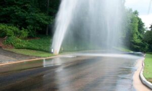
When a water main breaks, it gets attention fast. Streets flood. Traffic stops. Videos spread across social media within minutes. Recently, Oklahoma City saw exactly
Why Property Lines Are in the News and Boundary Survey Costs
Lately, the phrase “property line” keeps popping up in news headlines. Sometimes it shows up in stories about fences, security, or neighbors arguing over where

Aerial Surveying in Wind: How to Get Survey-Grade Accuracy
If you’ve worked a job, you know the pattern: the morning starts calm, then the wind ramps up by lunch. Yet you still need clean

Why Drone Surveying Is Surging After Recent Tech News
Drone surveying is getting a lot of attention in Oklahoma City this week, and it’s not just because builders enjoy new tech. A big update

Why Are Robotaxis Putting LiDAR Mapping Back in Focus?
In the last few days, robotaxis have been all over the news again. Several viral crash reports—especially involving Tesla’s camera-only system—sparked fresh debates about whether

Could a Property Line Survey Save Your Deed?
If you’ve never worried about your deed, you’re not alone. Most homeowners assume that once their name sits on the paperwork, everything stays secure. However,