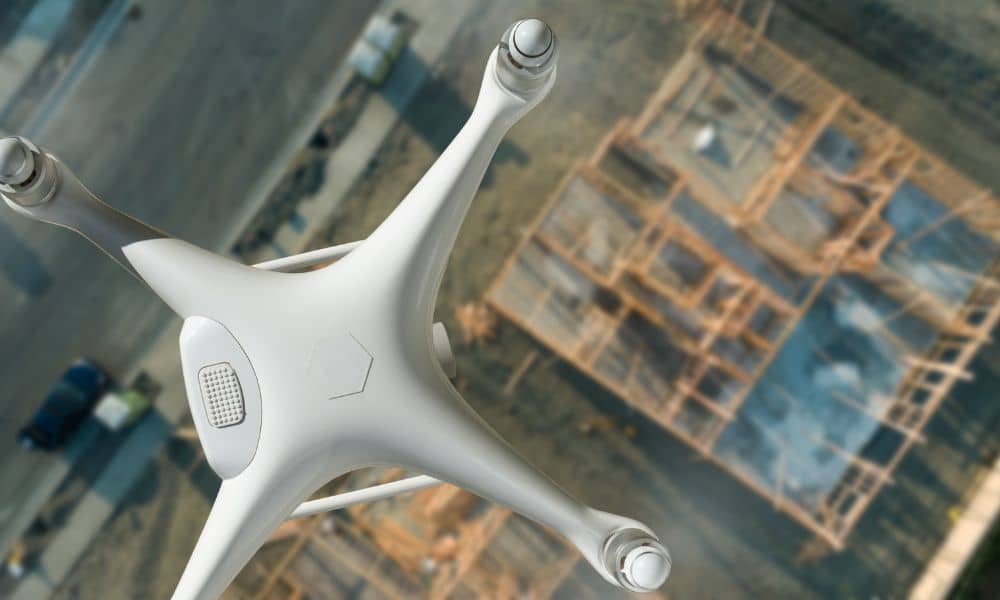
When it comes to site planning, drone land surveying is one of the smartest tools builders and property owners can use in Oklahoma City. Instead of waiting weeks for measurements or worrying about costly mistakes, drones provide fast and accurate results. This means your project can start on the right foot and move forward with fewer delays.
What Is Drone Land Surveying?
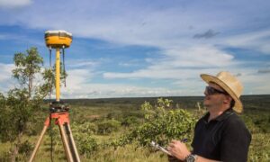
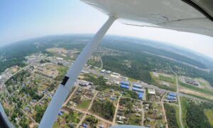
Drone land surveying uses drones with cameras and GPS to map land from above. The drone flies over the property and gathers detailed images. These images are turned into 2D maps and 3D models that show the exact shape and features of the site.
This method is much faster than traditional surveys. It covers more ground in less time while still producing precise results. For builders and developers in Oklahoma City, this means fewer surprises during construction and better planning before the first shovel hits the ground.
Reason 1: Faster Project Turnaround
In construction, time always equals money. Waiting weeks for a survey can stall progress and push back deadlines. Drone land surveying speeds things up. Most projects get results in just a day or two.
As a result, builders can move to the next step without wasted time. Permits can be submitted sooner, plans can be approved faster, and construction can stay on schedule. For projects in Oklahoma City, where weather and deadlines are tight, saving even a few days makes a big difference.
Reason 2: Better Accuracy for Planning
Even a small error in site measurements can cause big problems. If a foundation is off by just a few feet, it might break city rules or cross into a neighbor’s property.
Drone land surveying reduces this risk. When surveyors perform a land survey with drones, they can capture sharp, high-resolution images that highlight slopes, elevations, and property lines in detail. For builders in Oklahoma City, this means site plans line up perfectly with the land itself—so there are fewer costly mistakes or redesigns down the road.
Reason 3: Lower Costs for Builders
Traditional surveys often cost more. They require larger crews, heavy equipment, and longer hours on-site. Drone land surveying uses fewer resources but delivers the same reliable results.
In addition, drones prevent rework. When the data is accurate from the beginning, builders don’t need to tear down walls, move utilities, or fix drainage issues later. This keeps budgets under control and helps Oklahoma City builders finish projects without overspending.
Reason 4: Safer Job Sites
Construction sites can be dangerous places. Traditional surveyors may need to climb steep slopes, walk near roads, or enter flood-prone areas. With drones, most of this work happens from the air.
Because of this, crews stay safer on the ground. For projects in Oklahoma City, this added safety matters. It reduces accidents, avoids delays, and makes the entire site more secure for workers and contractors.
Reason 5: Clearer Construction Staking
One of the hardest parts of building is making sure structures are in the right place. Staking marks where foundations, walls, and utilities should go. Drone land surveying improves this step with digital maps that line up perfectly with the ground.
This is especially useful in Oklahoma City, where zoning rules can be strict. If walls or utilities are slightly off, you could face fines or rebuild costs. With drone-aided staking, everything goes where it should from the start.
Real Examples in Oklahoma City

Drone land surveying is already shaping real projects across the city:
- New housing developments – Subdivisions use drone land surveying in Oklahoma City to map lots and property lines quickly and accurately.
- Commercial builds – Offices, warehouses, and shopping centers rely on drone maps for parking layouts and utilities.
- Road and bridge projects – Engineers use drone data to design stronger and safer infrastructure.
In every case, drones save time, cut costs, and improve accuracy.
Reason 6: Better Communication Between Teams
Large projects often involve developers, architects, engineers, and contractors. Miscommunication can lead to costly mistakes. With drone land surveying, everyone uses the same maps and models.
For example, when architects and builders in Oklahoma City work from identical drone maps, collaboration becomes easier. Inspectors can also review the same data, which speeds up approvals and reduces confusion.
Reason 7: Helpful for Future Projects
Drone land surveying is not just useful for the first build. The maps and models created can guide future projects too. Builders in Oklahoma City can save these files for later use, which helps with renovations or utility upgrades.
Because of this, drone surveys act like an investment. Whether you want to expand a parking lot, install drainage systems, or add new buildings, accurate land data will already be available.
Conclusion
Drone land surveying is more than a modern trend, it’s becoming the new standard for site planning in Oklahoma City. By saving time, lowering costs, improving safety, and providing accurate data, drones help projects succeed from start to finish.
If you’re planning a project in Oklahoma City, consider drone surveying before you break ground. It’s a smart step that gives you accuracy, speed, and peace of mind. With the right survey, your project can move forward confidently and avoid the costly surprises that hold others back.
