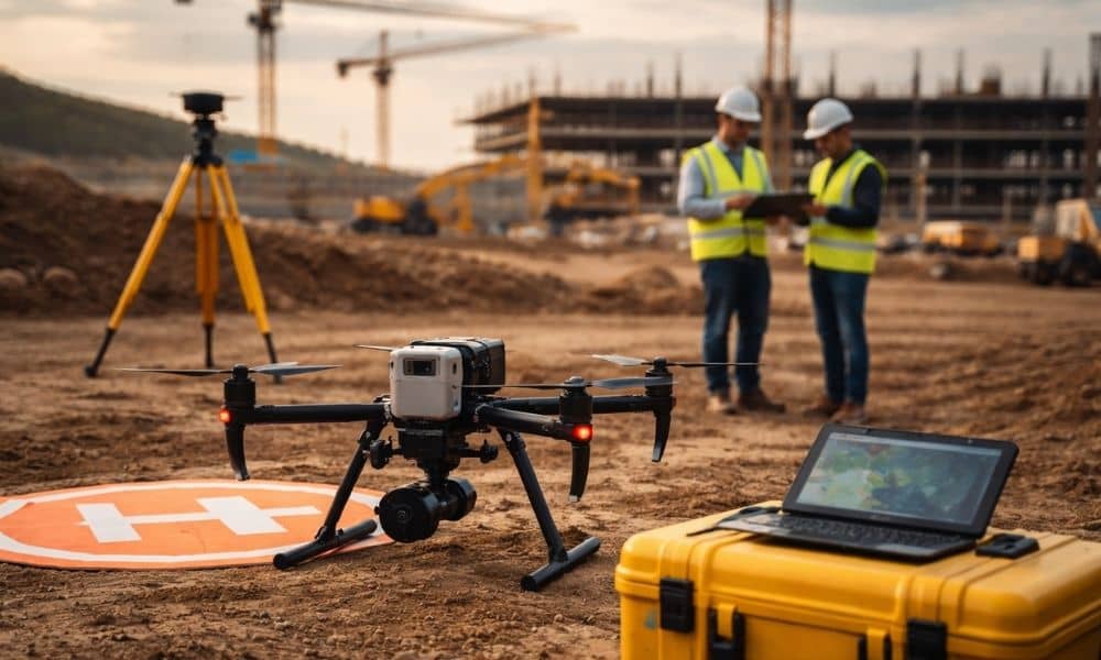
Not long ago, weather caused most delays in survey mapping. Rain stopped flights. Wind made flying unsafe. Crews watched the forecast every day.
However, today another issue causes sudden delays: airspace restrictions that can appear overnight.
Recently, national news covered a security event involving a drone. Soon after, federal officials restricted the airspace in that area. The important point is not the location. The important point is how quickly the restriction appeared.
When authorities see a safety or security concern, they can issue a Temporary Flight Restriction, or TFR, very fast.
For professional survey mapping teams, this changes everything.
Commercial drone work must follow FAA rules. If airspace closes, flights stop. There are no exceptions. Even if crews are already on site. Even if control points are set. Even if the client expects results the next morning.
Because of this, overnight restrictions now create real risk for projects.
Why This Matters to Clients in Oklahoma City
At first, airspace rules may seem like a problem only for drone pilots. In reality, they affect developers, contractors, engineers, and property owners.
Survey mapping supports grading plans, utility layouts, earthwork numbers, and construction tracking. These tasks help guide important decisions. Therefore, when survey mapping stops, decisions also stop.
Oklahoma City adds another layer. The area includes commercial air traffic, military activity near Tinker Air Force Base, medical flights, and government buildings. Most days, everything runs smoothly. However, when security events or emergencies happen, airspace can close quickly.
As a result, survey mapping crews must check airspace often, not just once.
If a restriction appears the night before a flight, contractors may already have equipment on site. Project managers may be waiting for updated data. Meetings may depend on new maps.
Because of that, one grounded drone can affect the whole schedule.
Overnight Restrictions Can Raise Costs
Construction schedules run tight. Every step depends on the step before it. Since survey mapping often comes early in the process, delays at this stage can affect everything that follows.
Imagine a developer waiting for updated topographic data to confirm how much soil must move. The grading contractor schedules workers. Equipment rentals begin.
Then, airspace closes without warning.
Even a one-day delay can force changes. Crews may need to reschedule. Equipment may sit unused. Later deadlines may feel more rushed.
Also, survey teams who already traveled to the site still spend time and fuel. While professionals plan carefully, they cannot control sudden rule changes.
Therefore, overnight flight restrictions can increase project pressure.
The Risk Many People Do Not Notice

When clients hire a survey mapping firm, they usually ask about accuracy, speed, and price. These are important questions.
However, very few ask how the team handles airspace risk.
That question matters today.
Professional survey mapping depends on more than good equipment. Crews must check FAA notices before flying. They must check again on the morning of the flight. They should also keep records of those checks.
Teams that skip this step may face surprises. In contrast, strong teams build airspace checks into their routine.
That habit makes a big difference.
Rules Are Becoming Stricter
Across the country, drone rules receive more attention. Authorities detect drone flights faster. They enforce rules more carefully.
Because of this, airspace changes can happen quickly.
Survey mapping remains legal and valuable. However, it now operates under closer watch. Restrictions tied to security, emergencies, military activity, or disaster response can start without much warning.
For that reason, planning must improve.
Survey mapping firms that treat airspace as a small detail risk sudden shutdowns. Firms that plan ahead reduce that risk.
How Experienced Survey Mapping Teams Prepare
Strong survey mapping teams know that flying the drone is only part of the job.
Before going to the site, they check for active airspace restrictions. Then, they check again before launch. This habit lowers the chance of surprise.
They also talk openly with clients about airspace risk. Instead of promising perfect certainty, they explain how they monitor conditions and adjust when needed.
In addition, they build small time cushions into schedules when possible. Even a little flexibility can protect a project.
Because of these steps, clients feel more confident. They see that survey mapping takes careful planning, not just good flying skills.
Survey Mapping Now Depends on More Than Weather
In the past, survey mapping depended mostly on weather and equipment. Today, it also depends on airspace rules and security updates.
This change does not reduce its value. Instead, it shows why experience matters.
In Oklahoma City, where air traffic stays active, awareness becomes even more important. Airspace can change for reasons unrelated to your project.
Therefore, survey mapping now combines technical skill with rule awareness.
Choosing the Right Team Makes a Difference
If your project depends on aerial data, you need more than clear images. You need a team that plans for possible delays.
Ask how they monitor airspace. Ask what happens if restrictions appear. Ask how they protect your schedule.
Because overnight flight restrictions will continue to happen, preparation matters.
Survey mapping remains a powerful tool for development. It provides fast, accurate data that helps teams make smart choices. However, the environment around it has changed.
Airspace can close overnight. Rules can shift quickly. Security events can affect plans without warning.
Today, precision alone is not enough. Survey mapping must combine skill with strong planning. When a team prepares for changing skies, projects stay on track — even when conditions shift.