Survey Mapping Delays from Overnight Airspace Closures

Not long ago, weather caused most delays in survey mapping. Rain stopped flights. Wind made flying unsafe. Crews watched the forecast every day. However, today another issue causes sudden delays: airspace restrictions that can appear overnight. Recently, national news covered a security event involving a drone. Soon after, federal officials restricted the airspace in that […]
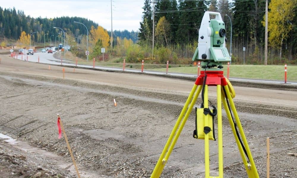
Drone Mapping Delays? How a Licensed Land Surveyor Helps

Drone mapping feels fast. A crew shows up, launches a drone, and gathers images in less than an hour. From the outside, it looks simple. However, recent drone airspace crackdowns across the country show a different side. In some cases, officials shut down airspace with little warning. Flights stopped overnight. Projects paused right away. That […]
Land Surveying Protects Property During Turnpike Expansion
Oklahoma City keeps growing. New roads and wider highways promise easier travel and more business. However, growth can also bring problems. The recent turnpike expansion debate has many property owners feeling unsure. People now ask a simple question: What happens if this project touches my land? That question leads to one key answer — land […]