Why Property Survey Cost Varies for Older Homes and Acreage
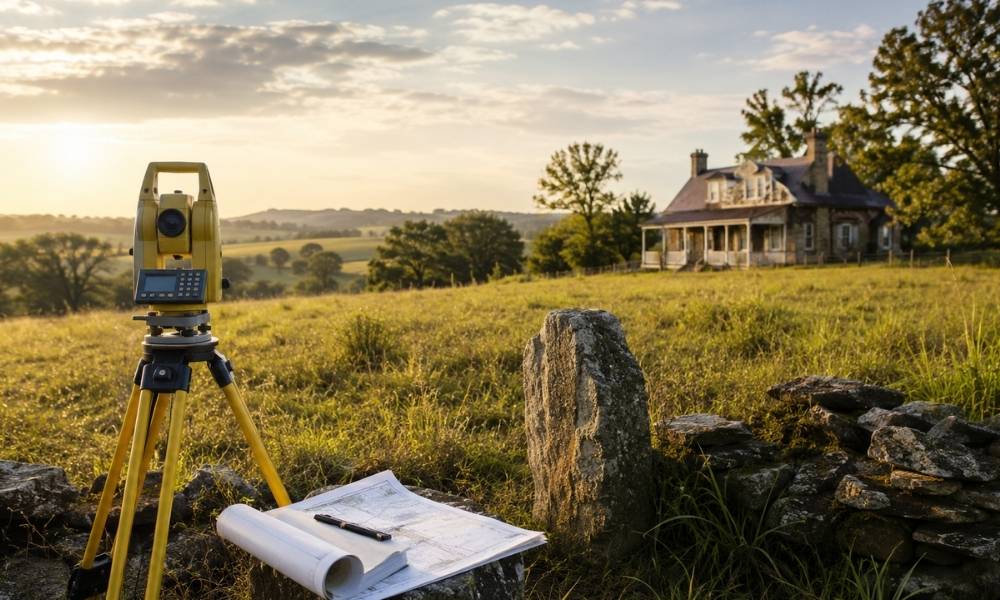
Property survey cost is not a flat rate. For older homes and large acreage in Oklahoma City and across the state, the price to survey land can climb fast, and for good reason. Older rural records and larger tracts are common here. Both add real work before a surveyor ever sets foot on your property. […]
ALTA Land Survey Details Buyers Should Review Near New Commercial Corridors
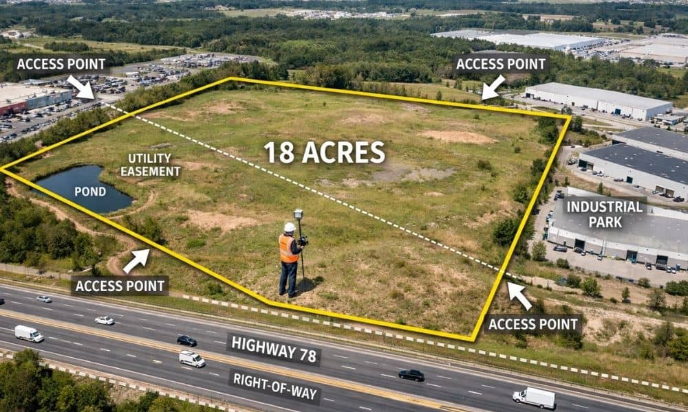
Oklahoma’s commercial corridors are growing fast. This brings chances to build. It also gets complicated. Before you buy land, know what you own. Know what rules apply to your property. An ALTA land survey is your map. It shows who can use your land. It shows where utilities run. It shows reserved land for future […]
How an ALTA Survey Helps Buyers Review Easements Before a Big Commercial Closing
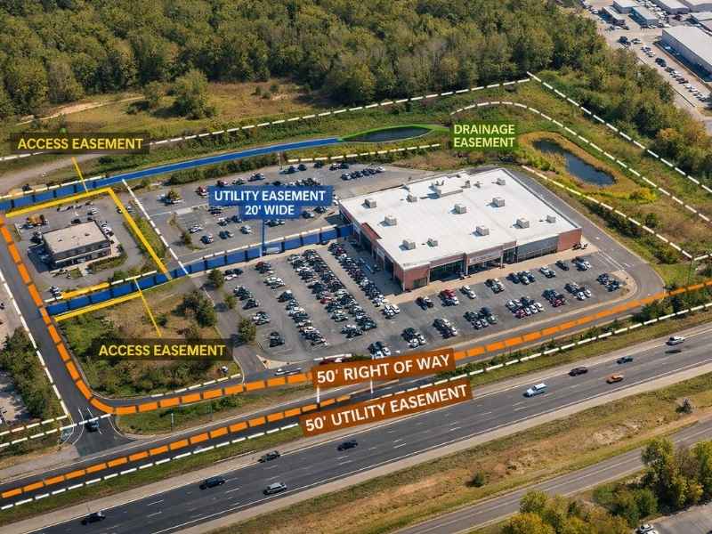
Buying commercial property is a major decision. Before anything gets signed, you need to know exactly what comes with the land, including any easements attached to it. An ALTA survey is one of the best tools for getting that information. It gives buyers, lenders, and attorneys a clear and verified look at the property before […]