If you’ve ever wondered how land surveying works, imagine trying to hit a target you can’t see—using signals bouncing from satellites thousands of miles away. Usually, that’s easy for today’s high-tech survey gear. But this week, things got tricky.
A solar storm disrupted GPS accuracy across several parts of the U.S., and while Oklahoma City wasn’t the epicenter, the effects reached local survey crews. When GPS or GNSS signals wobble, every measurement—from property lines to elevation points—can drift. For homeowners, contractors, and developers, that means one simple thing: timing and precision just got riskier.
What Happened in the Sky
On October 15–17, 2025, NOAA’s Space Weather Prediction Center issued a geomagnetic storm alert. The sun released charged particles that disturbed Earth’s magnetic field. It also made social media light up with videos of glowing auroras as far south as Kansas.
Beautiful? Yes. Helpful for surveyors? Not at all.
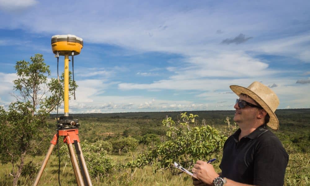
These storms scramble the satellite signals that GPS receivers rely on. The Federal Aviation Administration even released GPS interference advisories for pilots. The same problem that affects aircraft navigation also affects land surveying, especially when using RTK (Real-Time Kinematic) GPS. It’s the method that allows surveyors to get pinpoint accuracy—sometimes within a centimeter. When a storm hits, those centimeter-level readings can suddenly jump by several inches or even feet.
How a Solar Storm Disrupts GPS
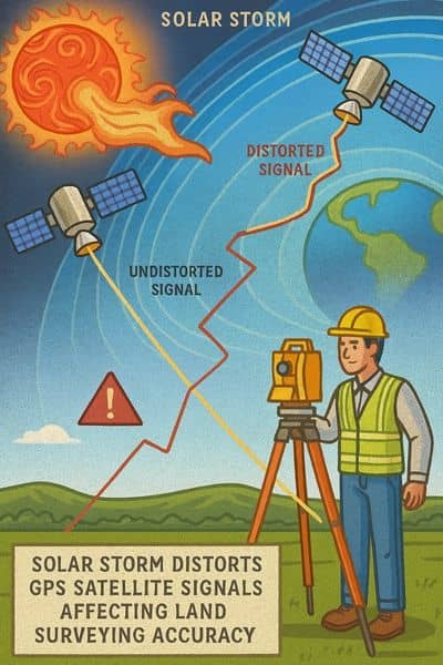
Picture GPS satellites sending invisible beams of timing data to your survey rover on the ground. The atmosphere—mainly the ionosphere—bends and delays those beams a little. Normally, the correction software knows how to adjust for that.
During a geomagnetic storm, however, the ionosphere behaves like a stormy sea. Signals scatter, delay unevenly, and confuse the receiver. The result is “signal drift”—where your location reading slowly slides even though your equipment isn’t moving.
For crews mapping subdivision lots, staking foundations, or verifying flood elevations, that drift can create real-world headaches. A property line might appear off. A foundation corner could be mis-staked. An elevation point could read higher or lower than it truly is.
What Surveyors Do When GPS Acts Up
Professional surveyors know that space weather isn’t just science—it’s part of field reality. That’s why land surveying never relies on a single tool.
When GPS gets unstable, crews switch to proven techniques:
- Re-observing control points for longer periods to smooth the data.
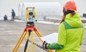
- Cross-checking with total stations, which use optical targeting instead of satellites.
- Holding back final calculations until signals stabilize.
- Post-processing the raw GNSS data later with corrections from trusted base stations.
It’s slower, but it protects accuracy. Many licensed surveyors even track NOAA updates daily. If solar activity looks rough, they plan fieldwork accordingly. This way, no client receives a survey full of hidden errors.
Why Your Survey Might Take Longer This Week
If your project involves land surveying right now, you might notice your surveyor asking for an extra day. That’s not a delay—it’s diligence.
In periods of solar interference, crews often need more time to recheck data or return to the site for validation. They might pause a construction staking survey to confirm control points or extend observation times for topographic mapping. Doing it once—and doing it right—prevents costly rework later.
For homeowners or real-estate buyers, this patience pays off. Surveys underpin legal descriptions, mortgage closings, and building permits. A rushed or inaccurate file can trigger boundary disputes or rejected applications months later.
Oklahoma City’s Ground Reality
Oklahoma City’s broad, flat terrain depends heavily on precise elevations. Whether you’re designing a new subdivision, filing for a flood elevation certificate, or updating a drainage plan, elevation errors can’t slip through.
That’s especially true now that the city’s new infrastructure bond includes over $140 million for stormwater and drainage improvements. Each of those projects starts with reliable elevation and boundary data. When GNSS precision drops, local surveyors compensate by double-checking every vertical benchmark and using terrestrial equipment to back up GPS readings.
The Human Side of High-Tech Surveying
Most people think surveying is just setting up a tripod and pressing “Go.” In reality, it’s a balance between technology and experience.
A good surveyor interprets what the data should look like. If readings feel off—too jumpy, inconsistent with existing records—they know something’s wrong. That human judgment is what separates a technician from a licensed professional.
During weeks like this, when the sky is throwing curveballs, that judgment keeps projects safe from costly mistakes.
What This Means for Clients and Developers
If you’re a homeowner, contractor, or developer, here’s what to keep in mind:
- Expect clear communication. Your surveyor should explain any schedule changes or signal issues.
- Value redundancy. Professional crews use both GNSS and optical tools to cross-verify accuracy.
- Ask about data checks. Good firms re-observe key points before signing off on reports.
- Don’t chase speed over precision. A one-day delay is cheaper than rebuilding a misplaced structure.
Land surveying may seem routine, but it’s foundational to every successful project—from fence installations to major infrastructure builds.
The Takeaway: Trust the Process, Not the Weather
Geomagnetic storms come and go, but solid surveying practice stays constant. This week’s GPS glitch reminded every professional that even advanced tools can falter when space weather strikes.
Yet, that’s precisely why land surveying remains such a trusted profession—it’s built on systems, checks, and human expertise that keep your property data accurate no matter what’s happening above the clouds.
So if your surveyor calls to say they’re taking extra time this week, remember: they’re not stalling—they’re protecting your investment, your project, and your peace of mind.
