In the last few days, robotaxis have been all over the news again. Several viral crash reports—especially involving Tesla’s camera-only system—sparked fresh debates about whether self-driving cars need more than cameras to stay safe. As these stories spread, something interesting happened: lidar mapping became part of the national conversation again. And while most people see lidar as “self-driving car tech,” cities like Oklahoma City use the same technology every day for real, on-the-ground projects.
This crash story may feel like just another tech headline, but it highlights a bigger truth: accurate, detailed maps are becoming one of the most important tools for transportation, safety, and city planning. And that’s where surveyors, engineers, and lidar data come in.
Robotaxi Crashes Made One Thing Clear: Accuracy Matters
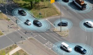
The recent Tesla incidents reignited a debate that never really went away. Tesla relies on cameras and software to help its robotaxis “see” the world. But critics argue that depending only on cameras leaves cars struggling with darkness, glare, bad weather, and confusing intersections.
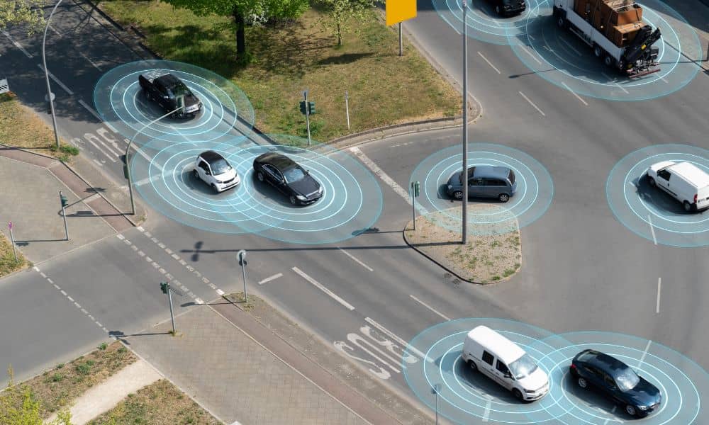
At the same time, Waymo doubled down on its opposite approach. Their vehicles use a mix of cameras, radar, and lidar sensors to build a full 3D picture of everything around them. Because of this, lidar became a hot topic online, with people comparing how each system handles safety.
So why does this matter for city projects?
Because both sides are arguing about the same thing surveyors care about every day: how do you get a precise, trustworthy model of the real world?
What Lidar Mapping Actually Does

Lidar isn’t magic. It’s a laser scanner that shoots thousands of small pulses of light every second. Those pulses bounce off buildings, roads, trees, and everything else. Then they come back to the scanner. The scanner uses that travel time to measure exact distances.
With all those points combined, you get a detailed 3D model called a point cloud. It’s like taking a photograph of the world—except this image has depth, dimension, and precise measurements built in. Surveyors can see slopes, drainage paths, curb heights, road crown, utility clearances, and more.
Self-driving cars rely on lidar to understand the world in real time. Cities rely on lidar mapping to understand the world before they change it.
Why Oklahoma City Uses the Same Tech
Even though autonomous cars grab the attention, Oklahoma City already uses lidar in ways most people never notice.
Some intersections cause more near-misses than reported crashes. Lidar helps engineers spot these patterns by showing where drivers brake hard, swerve, or lose visibility. When cities see those problem points, they decide whether to adjust traffic signals, add turn lanes, or fix blind spots.
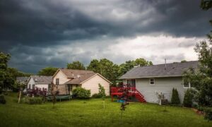
Oklahoma City also has its share of drainage issues, especially after heavy rain. Lidar mapping helps engineers analyze slopes and flow paths so they know exactly where water goes. Better drainage design means fewer flooded homes, fewer ponding roads, and fewer insurance headaches.
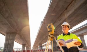
Road widening projects also depend on solid data. When you widen a road, the smallest mistake—like missing the true edge of pavement or misreading a ditch elevation—can cause expensive problems. Lidar gives planners a clear picture of the ground before a shovel even hits dirt.
Builders rely on accurate terrain data too. Before choosing where to place houses, driveways, or commercial buildings, they need to understand the land. Lidar helps them avoid low spots, plan grading, and prevent future settlement issues.
When the robotaxi crashes hit the news, many people argued about sensors and safety. But surveyors understood something deeper: all of these debates come back to how well the world gets mapped.
Robotaxis and City Engineers Face the Same Problem
Robotaxis don’t crash because they panic. They crash because they don’t fully understand what’s around them—not in an accurate, 3D way. City projects fail for the same reason. When a street floods, a slope causes water to run toward homes, or a road design doesn’t match real-world conditions, the cause is often bad or outdated mapping.
That’s why lidar matters.
Robotaxis need precise 3D vision to avoid accidents. Cities need precise 3D mapping to avoid costly mistakes. Both depend on the same type of data—just used in different ways.
Surveyors Are the Hidden Experts Behind the Scenes
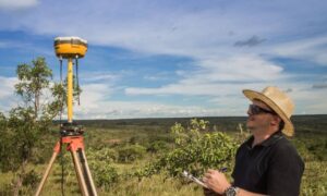
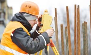
Because lidar mapping is a hot topic, many people assume it’s only used by autonomous cars, drones, or tech companies. But surveyors have been using lidar for years. The difference is that surveyors don’t just capture data—they interpret it, check it, and tie it to real ground control points.
Surveyors make sure lidar data is clean, accurate, tied to the right elevations, aligned with real boundaries, and ready for engineering analysis. Without survey-grade checks, lidar would just be a cloud of dots. With surveyors, it becomes a reliable map for million-dollar decisions.
As Oklahoma City grows, the need for people who understand lidar workflows, point cloud quality, and GIS tools continues to rise. These skills aren’t future skills anymore—they’re needed right now.
Why Robotaxi Crashes Brought Lidar Back Into Focus
Every time a crash video goes viral, the same question pops up: “How can a car make a mistake like that?” The answer points back to mapping. If a vehicle doesn’t understand its environment in detail, it makes bad decisions. When cities don’t understand their environment in detail, they do the same.
The robotaxi debate reminded everyone—engineers, homeowners, developers, and city leaders—that accurate 3D data is the foundation of safety. And lidar is the tool that delivers that accuracy.
What This Means for Homeowners and Developers
You don’t need to be building a robotaxi to care about lidar mapping. You feel its impact every time a street drains better after a storm, a dangerous intersection gets redesigned, a subdivision avoids grading issues, or a commercial site gets built without costly delays.
When homeowners need elevation data for drainage problems… When developers need topo data for design… When contractors need to avoid surprises in the field…
Lidar gives them the clarity they need to build confidently.
Final Thoughts
Robotaxi crashes might be dramatic, but they highlight something simple and true: the world works better when we map it accurately. As Oklahoma City continues to expand, lidar mapping will guide safer roads, smarter neighborhoods, and stronger infrastructure.
Accurate data leads to better decisions. Better decisions lead to safer communities. And lidar—quietly but powerfully—sits at the center of it all.
