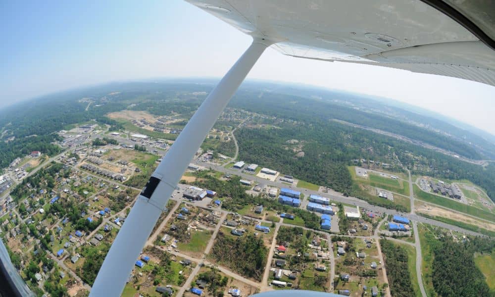
Oklahoma is no stranger to violent weather. From spring tornadoes to sudden summer downpours, storms here often leave behind more than just fallen branches. They can rip apart roofs, flood basements, and change the land itself. Just last week, strong winds tore the roof off a hospital in Sallisaw, forcing patients to evacuate. Events like this remind us how quickly structures can fail and how urgently accurate information is needed. That’s where an aerial survey becomes essential.
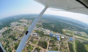
An aerial survey uses drones or other unmanned aircraft to capture detailed images and measurements from above. While many people connect this tool with construction projects, it is just as powerful after a storm. In fact, the right aerial data can save property owners weeks of stress, help insurers process claims faster, and guide safe rebuilding across Oklahoma City.
Storms Change More Than Meets the Eye
When a storm passes, the damage is often more than broken shingles or scattered debris. Heavy winds and water can shift soil, block drainage paths, and weaken structures in ways that aren’t easy to see from the ground. Aerial surveys help reveal these hidden changes.
For example, an overhead map can highlight where water has carved new channels across a property. It can show how a roof has shifted or where walls no longer line up correctly. Surveyors use this data to compare pre-storm and post-storm conditions. That comparison tells owners exactly what has changed and how serious the problem is.
In Oklahoma City, where flooding and straight-line winds strike with little warning, having this kind of visual record can mean the difference between a smooth recovery and a drawn-out repair process.
Faster and Stronger Insurance Claims
After every major storm, insurance companies are flooded with calls. Homeowners, business owners, and developers all need proof of what happened to their property. Unfortunately, disputes are common. Adjusters may disagree with owners on the extent of damage or question when it occurred.
This is where aerial survey data stands out. Drones capture high-resolution images with GPS stamps that tie every photo to a location and time. That evidence reduces the back-and-forth between property owners and insurance adjusters. When there’s no debate about where or when the damage occurred, claims get approved faster.
Aerial surveys also support FEMA requirements. Flood-related claims often need elevation data to confirm the risk level. A storm can change how water drains across land, and an aerial survey provides the fresh elevation details that insurers and regulators trust.
Safety First: Knowing When Drones Can’t Fly
While aerial surveys are powerful, they can’t always happen immediately. Storm zones often have restrictions. For example, the FAA may issue a Temporary Flight Restriction (TFR) to keep drones away from emergency helicopters. Debris on-site can also create unsafe flying conditions.
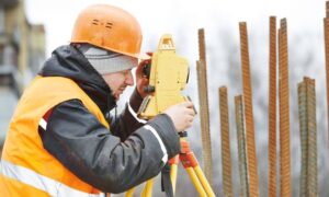
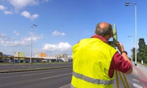
In those moments, surveyors shift to ground-based tools until it’s safe to fly again. They may use total stations or laser scanners to document critical areas on foot. Once conditions improve, drones return to the air to complete the picture.
For clients, this means you always get safe, reliable data. No corners are cut just to fly faster. And because of frequent severe weather, local surveyors know how to balance urgency with safety.
Helping Builders and Engineers Rebuild Right

Recovering from storm damage is not just about patching holes. It’s about rebuilding in a way that meets city rules, prevents future problems, and keeps people safe. Aerial surveys support this process by giving engineers and builders accurate maps to work from.
Take drainage as an example. If a heavy rainstorm shifts soil and changes how water flows, future flooding becomes more likely. Aerial data shows those new patterns so engineers can design drainage fixes before rebuilding begins.
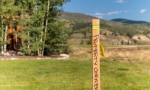
Contractors also use aerial surveys to double-check that as-built structures align with city permits and zoning setbacks. This prevents costly mistakes like building in the wrong spot or violating height restrictions. For property owners, this step protects against fines and failed inspections.
Preparing for the Next Storm
While the immediate goal after a storm is repair, aerial surveys also offer long-term value. The data captured now becomes a baseline for the future. If another storm hits, owners can compare new images against this record to prove additional damage.
This ongoing monitoring is especially useful in areas that see repeated flooding or soil settlement. By keeping aerial survey files, property owners and developers can track changes over time and make smarter decisions about maintenance or upgrades.
In Oklahoma, where severe weather is part of life, building resilience means planning ahead. Aerial surveys aren’t just for emergencies—they’re tools for smarter property management year after year.
Why It Matters for Oklahoma City Property Owners
For homeowners, an aerial survey means peace of mind that your insurance claim won’t get stuck in red tape. For business owners, it’s the proof you need to reopen safely and quickly. And for developers or contractors, it’s the roadmap that helps rebuild stronger without costly mistakes.
The bottom line: when storms strike, guesswork is expensive. Aerial survey data replaces uncertainty with clarity. It helps everyone—owners, insurers, engineers, and inspectors—work from the same trusted record.
Conclusion:
Severe storms will always be part of life. Roofs will rip away, drainage paths will change, and disputes will follow. But property owners don’t have to face recovery alone. With an aerial survey, you gain accurate, defensible data that speeds up claims, guides repairs, and strengthens your property for the future.
If your facility or home has been damaged by recent storms, don’t wait. Reach out to a licensed surveyor and ask about aerial survey options. The sooner you have the data, the sooner you can rebuild with confidence.
