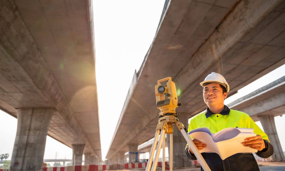
Oklahoma City is about to change fast. With a $2.7 billion bond package set for a vote this October, hundreds of new projects are on the horizon—roads, bridges, drainage, and public buildings that will reshape the metro area for the next decade. Before the heavy machines roll out, one thing always comes first: the boundary survey.
Survey crews will soon be in high demand as the city prepares for one of its largest infrastructure pushes ever. For developers, contractors, and landowners, understanding what this means could save months of delay—and thousands of dollars.
The Bond That Starts It All
City officials have outlined 11 propositions covering everything from transportation and flood control to parks and public safety. That’s roughly 600 projects waiting to start once voters approve the bond. It’s great news for growth—but it also means a surge of land work.
Every new road, drainage system, or civic building sits on land that must be measured, verified, and recorded. A boundary survey is the first legal and technical step in that chain. Without it, designers and contractors can’t confirm where city property ends or where a right-of-way begins.
As one city engineer put it at a recent public forum, “We can’t fix what we can’t measure.” And that’s exactly where surveyors step in.
Why Boundary Surveys Are the First Step
A boundary survey defines the exact corners and limits of a parcel. In city projects, that means finding every fence, marker, or iron pin that proves ownership. Surveyors combine deed records, plats, and GPS data to create a clear picture of where construction can safely occur.
When done right, these surveys prevent disputes between landowners and the city. They also help planners avoid costly redesigns. For example, if a drainage upgrade crosses private property by even a few feet, it could trigger weeks of legal review. That’s why boundary surveys happen before design drawings or staking begin—they establish truth on the ground.
In Oklahoma City’s case, the upcoming bond covers miles of streets and hundreds of parcels. Each one must be checked, mapped, and confirmed before any bid package goes out.
A Growing City Needs Clear Lines
Oklahoma City’s growth has been steady for years, but big construction can expose old problems. Some plats date back decades, when markers weren’t as precise or when fences drifted over time. Others include easements that were never recorded correctly.
Boundary surveys bring those records into the modern era. By using total stations, GPS, and digital mapping, licensed surveyors can align old property descriptions with today’s coordinate systems. That accuracy matters when multiple contractors are working side by side on a public corridor.
Think of it like drawing on clean paper before painting—if the outlines are wrong, everything else will look off. The same goes for roads and utilities: if the boundaries aren’t correct, nothing else fits smoothly.
The Coming Rush for Survey Work
Once the bond passes, every engineering firm in town will scramble to secure survey partners. Demand will spike fast because every project—from small sidewalk repairs to major bridges—needs legal boundaries established early.
For private developers and commercial property owners, that means competition for scheduling. Surveyors can only handle so many field crews at once, and boundary surveys can’t be rushed. Waiting too long to order one could push your project behind the city’s queue.
If your land sits near a proposed corridor, drainage basin, or new civic site, now’s the time to plan. A boundary survey done this fall can keep your site ready for coordination when public-works teams start knocking on doors.
How Boundary Surveys Protect Property Owners
Public investment brings opportunity—but also uncertainty. When the city widens a road or installs a drainage line, property owners often worry about losing land or access. A current boundary survey gives them proof of their legal limits before any negotiations begin.
It also helps avoid disputes between neighbors who might be affected by construction. For instance, if a new sidewalk shifts slightly onto private land, the owner can use a recent survey to show exact corners and discuss easement terms clearly.
In short, the document becomes more than a map—it’s a shield that protects both sides from confusion and conflict.
Why Developers and Engineers Benefit Too

Contractors rely on precise data to keep schedules tight. A good boundary survey feeds directly into design models and staking plans. It ensures storm drains, curbs, and retaining walls go exactly where they belong.
Engineers also use the information to match old plats with new alignments, saving hours of revisions. When survey data is complete, designers can confidently release plans to bid—without worrying about land conflicts later.
That level of certainty is what keeps multimillion-dollar projects on budget. And in a bond program this size, accuracy equals money saved.
Don’t Wait Until the Backlog Builds
Surveyors across Oklahoma already handle private development, FEMA flood mapping, and real-estate transactions. Adding hundreds of city projects will tighten schedules even more.
Booking a boundary survey early means your site gets priority. It also gives time to review deed issues or old encroachments before deadlines loom. Developers who plan ahead won’t face last-minute surprises or permit delays.
Think of it as preparing your foundation before the walls go up—survey first, build later.
Choosing the Right Survey Partner
In a crowded market, it helps to work with a licensed land surveyor who understands both private and public projects. Ask about experience with right-of-way surveys, drainage easements, and multi-parcel coordination. Those skills will matter as OKC’s bond projects roll out street by street.
A good surveyor doesn’t just draw lines; they coordinate with engineers, check title documents, and make sure your land rights stay secure as the city grows around you.
The Bottom Line
Oklahoma City’s $2.7 billion bond is a once-in-a-generation investment in growth. But before new bridges rise or drainage channels widen, surveyors must trace the city’s footprint—one boundary at a time.
For anyone owning, developing, or building in the metro, now is the time to act. Order your boundary survey, clarify your limits, and be ready when the infrastructure boom begins.
Because in OKC’s next chapter of progress, success starts with knowing exactly where the lines are.


