New Drone Rules: How a Land Survey Company Responds

If you’ve seen recent news about new drone rules and possible restrictions on certain drone brands, you might feel confused. Some headlines make it sound like drone surveying will stop or slow down. However, that’s not the full story. A good land survey company does not rely on just one tool. Instead, it builds flexible […]
LiDAR Mapping: How Remote-Sensing Technology Speeds It Up
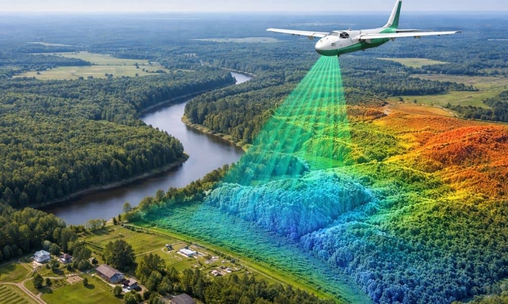
Technology does not usually change all at once. Instead, small improvements add up over time. Right now, those improvements are pushing lidar mapping forward faster than many people expect. New remote-sensing tools make LiDAR mapping quicker, smoother, and easier to use. For property owners, developers, engineers, and city planners across Oklahoma, this shift already affects […]