
How LiDAR Mapping Supports Large Site Planning
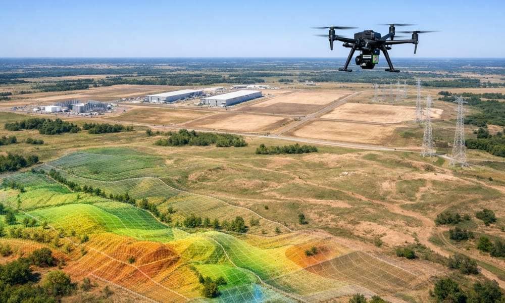
Oklahoma is seeing a wave of new data center interest. Power access, open land, and lower costs make the state attractive. But before any server rack goes into the ground, developers need one thing first: accurate site data. That’s where LiDAR mapping comes in. LiDAR mapping gives developers a clear picture of a property’s shape, […]
LiDAR Mapping: How Remote-Sensing Technology Speeds It Up
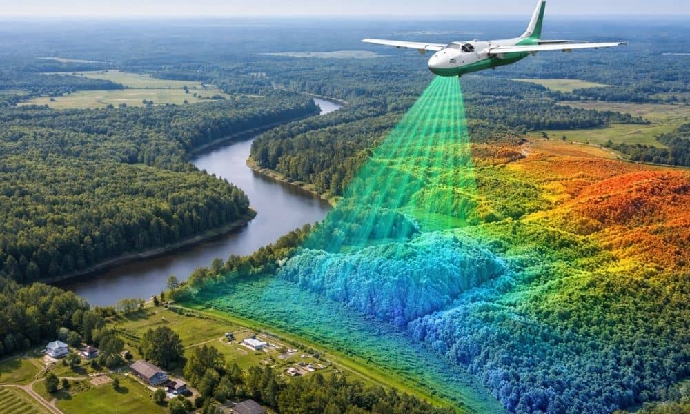
Technology does not usually change all at once. Instead, small improvements add up over time. Right now, those improvements are pushing lidar mapping forward faster than many people expect. New remote-sensing tools make LiDAR mapping quicker, smoother, and easier to use. For property owners, developers, engineers, and city planners across Oklahoma, this shift already affects […]