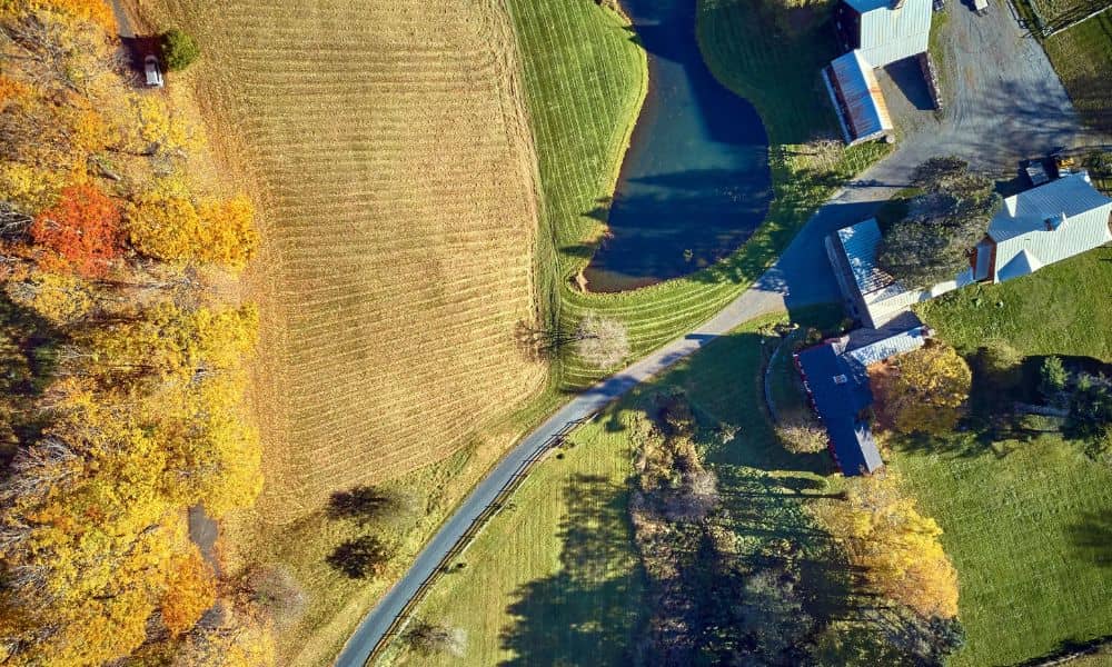
A second entrance can make rural land much easier to use. It can give a hay truck a straight path to the barn, keep equipment off the house drive or open up the back of a long tract. Before anyone cuts a new opening along the road, a property line survey shows where your land meets the road and your neighbors. That one answer shapes where the drive goes, how it turns and who has to approve it.
Oklahoma City spans more than 600 square miles, and a good share of that ground still looks rural. Many acreage tracts on the city’s edges face roads with open ditches, no curbs and fences set back at odd distances. It’s easy to assume the fence marks your line or that the ditch belongs to you. A survey replaces those guesses with measured lines and gives your rural access planning a solid starting point before a contractor brings in a culvert.
Check Road Frontage Before Choosing the Second Entrance
Road frontage is the length of your property line that runs along a public road. A second entrance needs enough frontage to fit the new drive and its flared edges without crowding a corner. The surveyor measures that length on the ground and compares it with your deed and any recorded plat.
The numbers don’t always match what owners expect. Owners often split and sell rural tracts in pieces over the decades, and a later split can shorten your frontage or leave a narrow strip owned by someone else between your land and the road. Some tracts touch the road only through a thin access strip. If the frontage turns out shorter than you thought, the best spot for a second entrance may move.
Frontage also matters for the paperwork. Oklahoma City’s right-of-way permit checklist asks for the property’s legal description plus the driveway width and curb cut width. On a state highway, the Oklahoma Department of Transportation’s driveway agreement states that the applicant owns or controls the land next to that frontage. A current survey helps you answer both with confidence.
Locate the Property Line Before Setting the Driveway Angle
The side property line causes the most trouble with a second entrance. A new drive rarely runs straight in. It often angles toward a barn, a shop or a gate, and the flared edges at the road add width. Oklahoma City’s permit checklist figures the curb cut as the driveway width plus the radius, which shows how far the opening can spread at the road.
That extra spread can cross a side line fast when the entrance sits near a corner of the tract. The drive itself can cross the line too if it bends toward a building close to the neighbor. A surveyor can set marks along the side line near the planned opening. Your contractor then sees the limit in the field instead of guessing from a fence post.
Old fences are a common source of error here. A fence may sit a few feet inside your line or a few feet over it. Setting the driveway angle off the fence can put a culvert end, a flare or part of the drive on land you don’t own.
Compare the Entrance Location With Right-of-Way Limits
Right-of-way is the strip of land set aside for the public road. It’s usually wider than the pavement, and on rural roads it often takes in the ditch and part of the grass on your side. The piece of your new drive between the road edge and your property line sits in that strip, so the road agency controls it.
Which agency you deal with depends on who maintains the road. Oklahoma City requires a revocable permit, pulled by a prequalified licensed contractor, for any work in the public right-of-way. On a state highway, ODOT issues driveway permits under state law and doesn’t allow work in the highway right-of-way until the owner has an approved copy in hand. Other roads near the city may fall under a county or a neighboring town, so confirm the right agency before you design anything.
A survey shows where the right-of-way line sits in relation to your fence, ditch and trees. Oklahoma City’s commercial submittal asks for a scaled site plan with property lines and right-of-way lines dimensioned in feet, and survey data supplies those numbers. Many rural roads also follow section lines, where the public road area can extend onto the land on each side. Your surveyor can research how the road next to your tract came to be and how wide it runs.
Flag Easements and Adjacent Drives Near the Proposed Opening
An easement gives someone else a right to use part of your land for a set purpose. Pipelines, power lines, water lines and drainage paths often run parallel to rural roads, right where a new entrance would cross. A driveway over an easement may need consent from the easement holder, and the holder may ask for protection over a buried line.
Ask your surveyor to show these items near the planned opening:
- Recorded easements listed in your deed or title work
- Pipeline markers, power poles, guy wires and utility boxes
- Existing culverts and the ditch flow line
- Neighboring driveways, field gates and mailbox clusters on both sides of the road
Nearby drives matter because the road agency may limit how close a new opening can sit to an existing one. Those rules vary, so check them with the agency before you settle on a spot. Before any digging, the owner or contractor should call OKIE811, Oklahoma’s one-call center, to have buried utilities marked. The survey maps what’s recorded and visible, and the locate request covers the lines no one can see.
Confirm the Surveyed Layout Before Entrance Construction Begins
The last step comes after the permit and before the dirt work. The surveyor stakes the approved layout on the ground, marking the edges of the drive, the flares and nearby property corners. Your contractor then builds from those stakes instead of a sketch.
Compare the stakes with the approved permit drawing before work starts. If the permit shows the drive 20 feet from a side line and the stakes show 12, stop and sort it out first. Changes after approval may need the agency’s sign-off, and ODOT’s driveway agreement bars alterations without written permission.
Timing counts too. ODOT’s driveway agreement says the permit expires if the drive isn’t built within six months, unless the owner requests an extension in writing. Protect the stakes until the culvert and base go in, and take photos of them. If equipment knocks a stake out, have the surveyor reset it rather than eyeballing the spot.