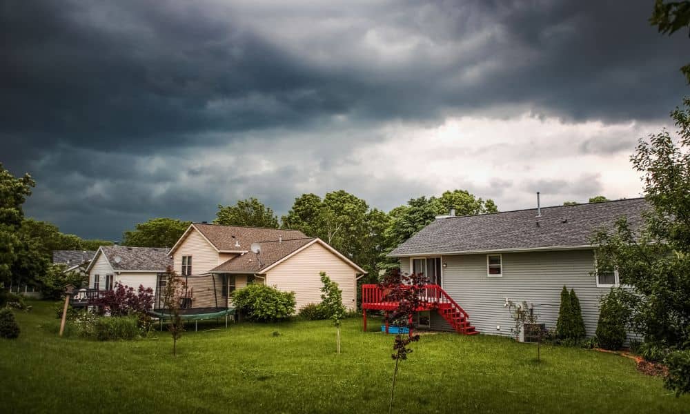
Oklahoma City has seen its fair share of unpredictable weather, but this week’s storm alert is more than just another rainy forecast—it’s a wake-up call for property owners. When the Weather Prediction Center issues a flash-flood warning, it’s not only about wet roads or full creeks. It’s also about the risk that your property may now sit in a newly classified flood zone. And if you live, build, or plan to sell, that means one document suddenly becomes critical: your flood elevation certificate.
For many homeowners, this certificate is a quiet file tucked away in their closing papers. But with FEMA’s updated flood maps for Oklahoma County set to take effect soon, it’s time to dust it off. Your old information might no longer reflect the new base flood elevations (BFEs) for your area—and that could affect your insurance, permits, or even your next sale.
Flood Maps Are Changing—And So Are the Rules
FEMA recently released revised Flood Insurance Rate Maps (FIRMs) that reshape how identifies flood-prone areas. In plain terms, FEMA reviewed years of new rainfall data, drainage improvements, and topographic surveys. The result? Some neighborhoods once considered “safe” are now part of a Special Flood Hazard Area (SFHA).
These maps, expected to go fully active in late 2025, will guide how the city and lenders assess flood risk. That means if your property was previously outside a flood zone, it might no longer be. And if your home’s elevation data is out of date, your flood elevation certificate could now show inaccurate numbers.
Even a small change in the base flood elevation—say, a foot or two—can alter your flood insurance premium or make your certificate non-compliant. This is why surveyors and insurance agents across OKC are urging property owners to double-check their documents before the next heavy rain rolls in.
Why Rechecking Your Flood Elevation Certificate Matters
A flood elevation certificate shows how high your home sits compared to the base flood elevation set by FEMA. It helps insurers decide your flood risk and premiums. More importantly, it helps the city ensure that your property is built high enough to avoid future damage.
However, the document doesn’t automatically update when maps do. If your certificate was created years ago—especially before this latest FEMA revision—it might list a flood zone or elevation level that no longer applies.
This can create real problems. Imagine applying for flood insurance and learning your property is now considered higher risk. Or trying to refinance a mortgage and finding your certificate doesn’t match FEMA’s data. Even a minor mismatch can delay closings or force you to pay higher rates until you provide an updated survey.
That’s why checking your flood elevation certificate isn’t just paperwork—it’s a safeguard for your property, your finances, and your peace of mind.
How to Know If Your Property’s Data Is Still Accurate

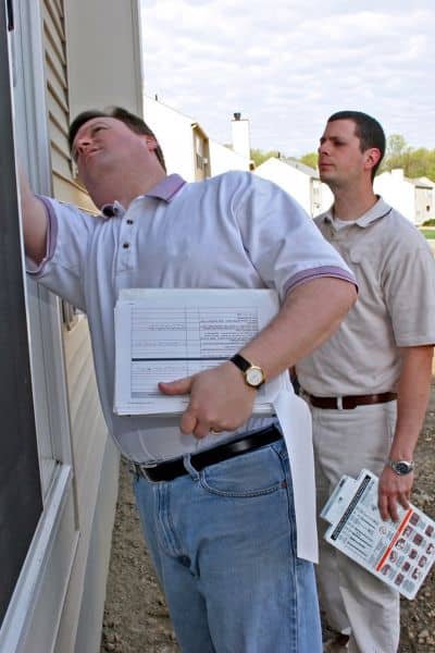
Start by finding your most recent flood elevation certificate. Many homeowners received one during purchase or construction. If you can’t locate it, your closing documents, builder, or previous surveyor may have a copy.
Next, compare it against FEMA’s current flood maps. Visit FEMA’s Map Service Center online, type in your property address, and download a FIRMette—a small printable section of the flood map showing your exact parcel. Look at the flood zone designation and base flood elevation noted there.
If those numbers differ from what appears on your certificate, your property’s risk status may have changed. Even if you’re not in a mapped floodplain, the recent storm alerts highlight how fast water can move through low-lying areas. It’s better to verify than assume.
Finally, contact the City of Oklahoma City’s Floodplain Management Office (part of Public Works) or a licensed land surveyor. They can confirm whether your property falls under the updated boundaries and if a new certificate is needed.
Local Impacts of Storm Alerts and Map Updates
Oklahoma City’s geography makes it especially sensitive to stormwater overflow. The North Canadian River, Deep Fork Creek, and nearby tributaries can rise quickly during heavy rainfall. That’s why FEMA’s updates and the city’s drainage rules work hand in hand.
Under local standards, all new construction in a mapped flood zone must be built at least one foot above the Base Flood Elevation. Builders and developers must submit a current flood elevation certificate to prove compliance before getting a permit.
But even existing homeowners should pay attention. A flood zone change can lead to:
- Insurance premium increases if FEMA now classifies your property as high-risk.
- Loan or refinancing delays when your lender requires updated documentation.
- Permit denials for remodels or additions if your elevation data is outdated.
These are not hypothetical issues. After last spring’s storms, several homeowners discovered that their old certificates no longer matched updated flood maps—delaying projects and increasing costs.
What To Do Before the Next Rainfall
Staying proactive is the best way to protect your property and avoid last-minute surprises. Take a few simple steps now:
- Review your most recent flood elevation certificate and note the date of issue.
- Cross-check FEMA’s current online maps for your address.
- Reach out to the Drainage Division or a local surveyor to verify compliance.
- If re-surveying is needed, schedule it before storm season peaks.
Updating your certificate may feel like one more task on a long homeowner to-do list, but it’s an investment that pays off. A correct elevation record can reduce your insurance rate, smooth out loan approvals, and make selling easier down the road.
Storms Pass, Compliance Stays
As Oklahoma’s weather continues to shift, flooding isn’t something that only happens near rivers anymore. Urban development, aging drainage systems, and heavy rain can change flood patterns fast. A flood elevation certificate is your best defense—it’s the one document that tells insurers, lenders, and city officials that your property is built to withstand what’s coming.
This week’s storm alert is a reminder, not just of nature’s power, but of the importance of staying ahead. Take time to confirm your information now, before the next downpour tests it for you.
If you’re unsure about where to start, reach out to a licensed land surveyor. They can verify your current data against the new FEMA maps and issue an updated certificate if needed.
Because when the rain hits and the flood warnings flash, it’s not about fear—it’s about preparation. And preparation starts with knowing your numbers, your risk, and your compliance.


