Have you ever wondered how much land you really own? Sometimes, neighbors don’t see property lines the same way you do. That’s exactly what happened in a recent viral story about a $500 boundary line survey that stopped a neighbor from sneaking onto someone else’s land—and it captured the internet’s attention.
A boundary line survey is a professional way to find the exact borders of your property. It helps prevent confusion, disputes, and even legal battles between neighbors. In this case, the survey exposed a neighbor trying to claim a bit of land that wasn’t theirs. What makes the story even more interesting is that it all played out on Reddit and quickly went viral, gaining tens of thousands of upvotes and comments.
The Viral Neighbor Dispute That Caught Everyone’s Attention
A homeowner posted on Reddit about a neighbor who tried to take just 9 inches of their property. Sounds small, right? But the homeowner didn’t just accept it. They hired a licensed land surveyor to perform a boundary line survey, which cost about $500—a small price to pay for peace of mind.
When the survey came back, it revealed something surprising: the real boundary wasn’t just 9 inches off. It was actually 20 feet in favor of the homeowner! The neighbor’s attempt to claim extra land completely backfired. The post included a bold message: “You want to try to take 9 inches of our property? We will take 20 feet of yours.”
This story went viral for a few reasons. First, it showed how a simple, affordable survey could uncover the truth. Second, it involved a bit of friendly revenge that many found satisfying. And third, it reminded people that property lines aren’t just imaginary—they have real legal importance.
What Exactly Is a Boundary Line Survey?

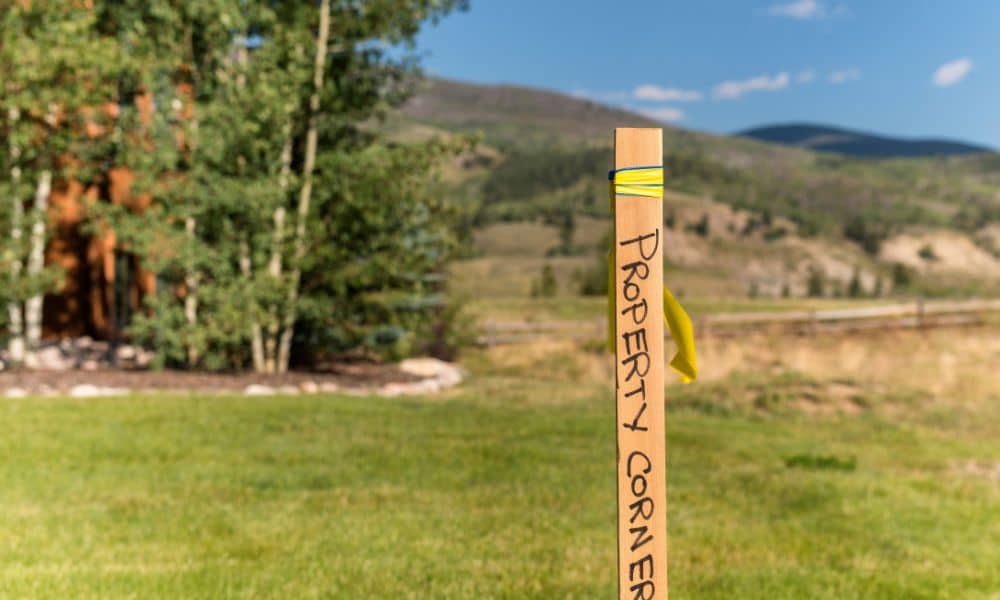
A boundary line survey is a detailed map made by a licensed land surveyor. They use tools like GPS and old property records to find the exact edges of your land. Then, they mark these boundaries with physical markers or stakes, so there’s no confusion.
This survey is especially important when neighbors disagree about where one property ends and another begins. Without it, people might build fences, sheds, or even driveways on land they don’t own—sometimes without realizing it.
Plus, having a clear boundary can prevent arguments or expensive legal fights down the road. It gives you proof of where your land starts and ends, which is powerful if a neighbor ever challenges you.
Why Do Boundary Disputes Happen?
It’s easy to assume property lines are obvious, but they often aren’t. Sometimes, old fences have shifted over time. Sometimes, trees or bushes hide the markers. Other times, property deeds use vague descriptions, like “along the big oak tree,” which can change or disappear.
In growing cities like Oklahoma City, new construction and land development can also shake things up. Old property lines might get ignored or forgotten, leading to disagreements.
That’s why more homeowners are turning to boundary line surveys—not just when buying or selling, but as a way to protect their land from surprises.
How Can a Boundary Line Survey Help You?
Imagine planning to build a new fence or add a garden shed. If you guess where your property line is without checking, you might accidentally cross onto your neighbor’s land. This could cause tension or force you to tear down what you built.
A boundary line survey removes that guesswork. It shows you exactly where you can build or plant. If a neighbor claims you’re encroaching on their land, you have solid proof to settle the dispute.
In the viral Reddit story, that proof made all the difference. The homeowner wasn’t just fighting for a few inches—they now had evidence for 20 feet of land.
What Should Oklahoma City Homeowners Know?
If you live in Oklahoma City, this viral story hits close to home. The city is growing fast, and many neighborhoods have older property lines that can cause confusion. Plus, with all the new homes and roadwork, it’s easy for boundaries to get overlooked.
By getting a boundary line survey, you protect yourself from unexpected problems. It’s better to know where your property lines are before you see a fence or shed go up in the wrong place—or worse, before you get a legal notice.
Even if you haven’t noticed any problems yet, it’s smart to check. A simple survey can give you peace of mind.
When Should You Get a Boundary Line Survey?
You don’t need to wait for a dispute to get a survey. Here are some good reasons to consider one:
- Before buying or selling a property
- Planning to build fences, decks, or sheds
- If you notice fences or markers have moved
- When a neighbor questions where the boundary is
- If your property deed is unclear or old
The cost, often a few hundred dollars, is small compared to the potential headaches or lawsuits you could face without it.
What Happens During a Boundary Line Survey?
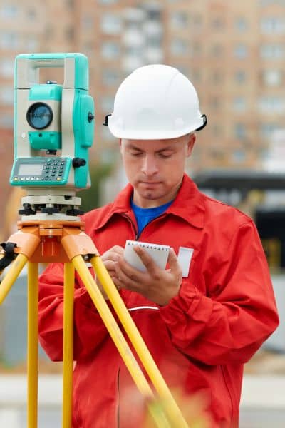
A licensed surveyor will start by researching old maps, deeds, and legal documents. Then, they visit your property to take precise measurements using GPS and other tools. Sometimes, they use drones or aerial technology to map large or hard-to-reach areas.
After the survey, you receive a detailed map showing your property lines, along with physical markers placed on your land. This document can be used in legal disputes or simply as a reference.
Protect Your Property—and Your Peace of Mind
The viral story about the $500 boundary line survey is more than just an entertaining internet post. It’s a clear lesson: knowing your property lines protects your home, your rights, and your peace of mind.
Don’t wait for a neighbor dispute or costly mistake to learn where your land truly begins and ends. Whether you live in Oklahoma City or anywhere else, a boundary line survey is a smart investment.
If you’re curious or concerned about your property lines, reach out to a licensed land surveyor. It could save you thousands of dollars and a lot of stress—just like it did for the homeowner who went viral.


