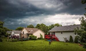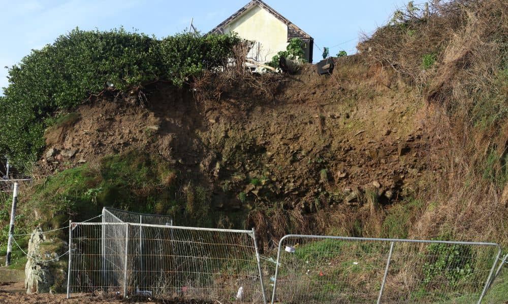
Backyard erosion may seem like a slow, quiet problem—until it’s not. In Oklahoma City, one family recently discovered a 15- to 20-foot drop forming along their backyard fence. What caused it? Drainage changes from a nearby street expansion. Now their property is at risk, repairs could cost over $100,000, and no one wants to take responsibility. This is where boundary surveys become more than just maps—they become protection for homeowners.
When the land under your feet starts to shift, knowing exactly where your property begins and ends becomes critical. In situations like this, a boundary survey isn’t just helpful—it’s essential.
When Your Land Starts to Disappear
Erosion doesn’t happen overnight. It builds up over time, often caused by poor drainage, heavy rain, or nearby construction. In this Oklahoma City case, roadwork changed the water flow, and that caused the land to wash away.
For most people, erosion means damaged lawns or sagging fences. But in some cases, like this one, it becomes much more dangerous—undermining the soil near homes and threatening foundations. Imagine going to bed one night and waking up to find your fence hanging over a cliff.
This isn’t just a landscaping issue. It’s a legal and financial one.
Why Boundary Surveys Matter More Than Ever
When erosion hits, property lines don’t move just because the dirt does. Your legal property boundaries stay where they’ve always been—even if the land itself shifts. That’s where boundary surveys come in.
A boundary survey gives you a clear, legal document that shows exactly where your property starts and ends. If your neighbor’s land starts sliding into yours, or if the city made changes that affected your property, a survey helps you prove what’s yours.
In short, it protects your land, your rights, and your wallet.
Real Story, Real Problems
Let’s go back to the Oklahoma City family dealing with a collapsing backyard.
Right now, they’re stuck between the city and a developer, with each side blaming the other. Meanwhile, the erosion is getting worse. If they had a recent boundary survey, they’d have a powerful tool to show:
- How far the erosion has spread
- Whether any changes pushed water onto their land
- If their property lines were violated
- What areas they can legally repair or rebuild
Boundary surveys can be the difference between winning a case—or footing the entire bill alone.
Not Just for Buying Land Anymore
Many people think of boundary surveys as something you get when you’re buying or selling property. And yes, they’re important then. But they’re just as valuable for current homeowners, especially in areas like Oklahoma City where construction is booming and weather patterns are changing.
Here’s why more homeowners should consider getting one:
Erosion Risk – If your property slopes or sits near drainage, it’s at risk.
New Construction Nearby – Any time water flow changes, land can shift.
Visible Changes – Cracks in soil, sinking fences, or shifting trees are red flags.
Legal Disputes – Whether it’s with the city or a neighbor, a survey gives you proof.
Oklahoma City’s Growth Brings New Land Risks
Oklahoma City is growing fast. New homes, roads, and buildings pop up constantly. That’s great for the economy—but it also changes how the land behaves. Every time new construction shifts the flow of water, it can quietly create problems in nearby neighborhoods. And sometimes, that water ends up where it doesn’t belong—like someone’s backyard.
That’s exactly why local homeowners are turning to boundary survey experts. These professionals don’t just mark property lines—they understand how changing land conditions can affect them. In fast-growing areas like OKC, they play a key role in helping people spot risks early and avoid costly surprises later.
Surveyors: Not Just People with Tripods
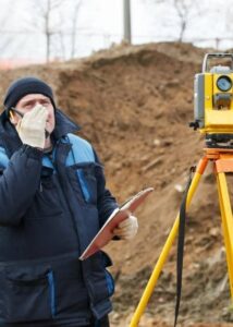
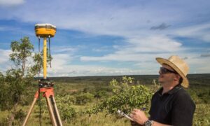
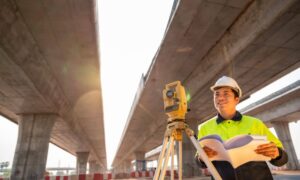
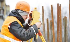
When people picture a surveyor, they often think of someone standing in a field with a tripod. But their work is far more detailed—and more important—than most realize.
- Research legal land records and old maps
- Use high-tech tools like GPS and drones to map your property
- Mark exact boundary lines with physical markers
- Document property features like easements, overlaps, and problem areas
- Help settle disputes with clear legal evidence
In erosion cases, surveyors can also work with engineers and city planners to create solutions that prevent future damage.
Don’t Wait Until You See a Drop-Off
Erosion might feel like a far-off problem—until you see your backyard falling away. By then, it’s often too late to act without major costs. That’s why it’s smart to get ahead of the problem.
If you notice any of these signs, consider calling a licensed land surveyor:
- Water pooling in strange areas after rain
- A fence that no longer lines up straight
- Cracks in your lawn or patio
- Nearby construction projects
- Changes in slope or soil softness
These might seem minor—but they’re early warnings.
Know Where You Stand
The Oklahoma City erosion crisis is a clear reminder that land can change—but legal boundaries don’t. If you don’t know exactly where your property starts and ends, you could be left in a tough spot when problems hit.
Boundary surveys are more than just drawings—they’re your first line of defense when nature, neighbors, or new developments threaten your land. Whether you’re facing erosion, planning a project, or just want peace of mind, a survey gives you the information and legal backing you need.
In a city that’s growing and changing fast, knowing where you stand—literally—can make all the difference.
