Elevation certificate rules may seem confusing at first. However, understanding them is easier than you think. If you own a home in Oklahoma City or plan to buy property here, this guide will help you navigate the process.
What Is an Elevation Certificate?
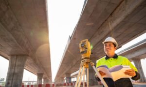
An elevation certificate is a document showing your home’s location, lowest floor elevation, and flood zone. It is prepared by a licensed land surveyor or engineer. FEMA (Federal Emergency Management Agency) uses it to assess flood risk.
In simple terms, it tells insurance companies and city officials how high your home sits compared to the base flood elevation in your area.
Why Homeowners in Oklahoma City Need an Elevation Certificate
Certain areas of Oklahoma City are more prone to flooding, especially near the North Canadian River, Lake Hefner, and Deep Fork Creek. If your property falls in a Special Flood Hazard Area (SFHA), FEMA may require an elevation certificate.
You will most likely need one if you are:
- Buying or selling a home in a flood zone
- Applying for or renewing flood insurance
- Building a new home or doing major renovations
- Trying to lower your insurance rates
- Wanting to challenge your flood zone designation
Even if your property isn’t near a river or lake, Oklahoma weather can be unpredictable. Many homeowners are surprised to discover they are in a flood-prone area.
Oklahoma City’s Rules and Regulations About Elevation Certificates
The Stormwater Quality Division manages floodplain regulations in Oklahoma City. If your property is in or near a mapped flood zone, the city may require an elevation certificate before issuing permits for building or remodeling.
Key rules include:
- All new buildings in flood zones require an elevation certificate
- Substantial improvements (over 50% of building value) may trigger the requirement
- Lenders often request it before closing on a mortgage for properties in flood zones
City officials use the certificate to ensure compliance with FEMA rules and to prevent your property from increasing flood risk for neighbors.
How to Get an Elevation Certificate in Oklahoma City
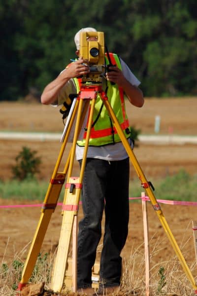
Obtaining an elevation certificate is straightforward:
- Check for an existing certificate
Older homes may already have a certificate in closing documents. Newer homes or recent sales might include one from the builder. - Hire a licensed land surveyor in Oklahoma City
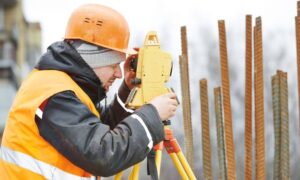
If there isn’t an existing certificate, hire a local professional. They understand city requirements and FEMA guidelines. - Schedule the survey
The surveyor measures your home’s elevation compared to the base flood elevation. - Receive your certificate
After the survey, you’ll get a completed elevation certificate for your records. Insurance agents or city officials may request a copy.
Cost: Usually between $300 and $600, depending on property complexity.
How Elevation Certificates Affect Flood Insurance
Elevation certificates can reduce flood insurance costs. FEMA uses them to calculate your property’s risk level.
- Homes above the base flood elevation may have lower insurance premiums
- Homes below the base flood elevation may face higher rates, but the certificate still provides risk awareness
- Without a certificate, FEMA assumes the worst-case scenario, often leading to higher rates
In some Oklahoma City neighborhoods, homeowners have saved hundreds of dollars annually by showing they are above flood levels.
Common Questions from Oklahoma City Homeowners
“I’m not in a flood zone. Do I need a certificate?”
Probably not. Still, check with your insurance agent or city if you plan to build or renovate.
“Can I use an old certificate?”
Maybe. If no major changes were made, it can often be reused. Some insurers may require a newer version.
“Is it required when selling a home?”
Not always—but it can speed up the process. Buyers or lenders may request it during closing.
“Can I challenge my flood zone?”
Yes. Request a Letter of Map Amendment (LOMA) from FEMA. An elevation certificate is required for this.
“Is an elevation certificate the same as a survey?”
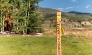
No. Boundary surveys show property lines, while elevation certificates focus on height compared to flood levels. Some surveyors can provide both.
Final Thoughts
Oklahoma City homeowners face unpredictable weather, including heavy rain and flash flooding. An elevation certificate provides facts about your property and helps protect your investment.
Even if it’s not required, having one can:
- Lower insurance costs
- Speed up home sales
- Prepare your property for future construction
Working with a knowledgeable land surveyor ensures you get accurate and reliable information.
